59CosG95
Established Member
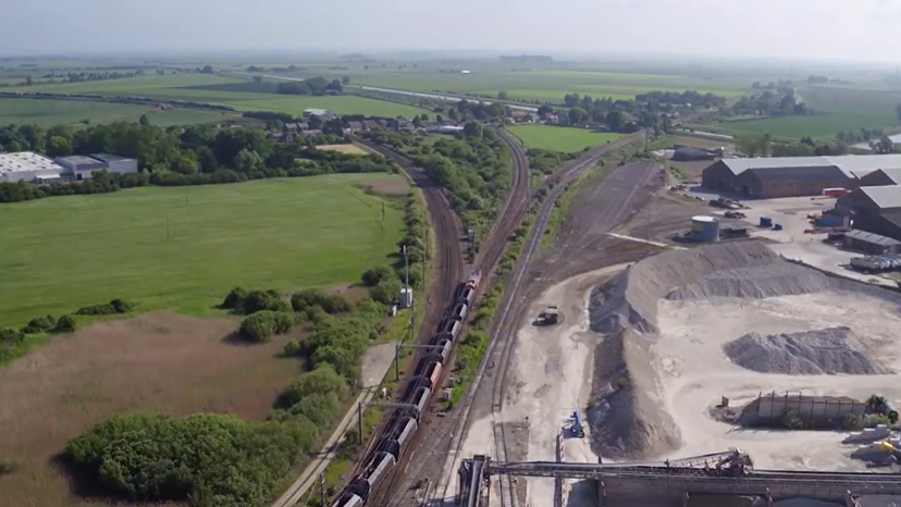
Regarding the 126 Level Crossings in the scope, I've totalled 92 so far:
- 17 from Cambridge to Ely North Jn (Anglia SA Module EA1161);
- 23 from Ely North Jn to King's Lynn (Anglia SA Module EA1162);
- 2 on Ely West Curve (Anglia SA Module EA1550);
- 43 from Ely North Jn to Peterborough (Anglia SA Module EA1560) - including Kings Dyke MCB which is due to be closed - see here. Cambs CC gave the scheme the go-ahead in July, and the A605 should be diverted by December 2022;
- 7 from March to Wisbech (Anglia SA Module EA1570).