Fazaar1889
Member
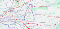
I found the following line on Google Earth (image from railmaponline.com/UKIEMap.php) expecting to find a station next to the Etihad stadium only to find none. Consulting merrittcartographic.co.uk/british_railways.html I found that there are no passenger services on it at all. I'm curious, what is this line called, what is its history and why don't they rebuild the line through at the indicat4ed green line. surely it would help with increased demand in the area during manchester fc matches? There's already a half built viaduct there, might as well use it.


Last edited:

