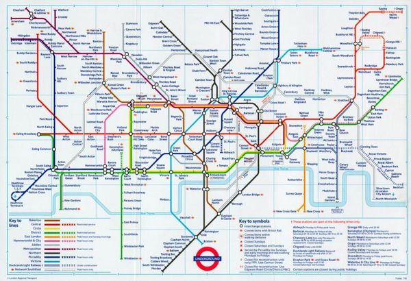
The Northern City Line is functionally the same as the Elizabeth Line, Thameslink, Overground and sub-surface Tube lines, in that they are services operated using mainline rolling stock which are underground for at least some of their length. While it did appear on the Tube Map in times gone by, the transfer of ownership from London Transport to National Rail has meant there is less of an incentive for TfL to promote it on their maps. That’s not to say the service is any less important for North London commuters. For some stations it is their only direct service to Central London.
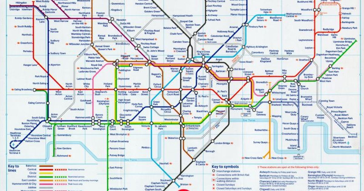
With Thameslink’s addition to the tube map setting a precedent, is it time for the Northern City Line to make a reappearance? I’d argue that there is a special case for this line considering it was once part of London Underground. On the other hand, people might argue for other suburban services (Southern, Chiltern, c2c etc) to be shown on the map as well, which would clutter the Tube map too much. What are your thoughts?
With Thameslink’s addition to the tube map setting a precedent, is it time for the Northern City Line to make a reappearance? I’d argue that there is a special case for this line considering it was once part of London Underground. On the other hand, people might argue for other suburban services (Southern, Chiltern, c2c etc) to be shown on the map as well, which would clutter the Tube map too much. What are your thoughts?