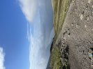
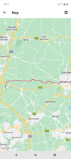
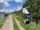
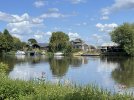
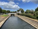
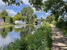
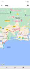
Last week I did the Wandle Trail from Croydon as far as Earlsfield (about 10 miles). It's a good walk in many ways - nearly all flat, mostly quite scenic, and being within the London area easy to abandon if the weather turns bad. Although you can follow the trail up to the Wandle's confluence with the Thames at Wandsworth, the riverside path as such comes to an end at Earlsfield and you don't see much more of the river until the end.
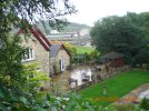
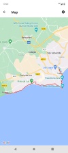
Sometime soon I also plan to do the Ravensbourne Way from Kent House to Greenwich. Funnily enough this walk suffers from the same disadvantage as the Wandle Trail, with the river at the end section being mostly inaccessible although there is a route right up to the Thames for those who are determined.
Sometime soon I also plan to do the Ravensbourne Way from Kent House to Greenwich. Funnily enough this walk suffers from the same disadvantage as the Wandle Trail, with the river at the end section being mostly inaccessible although there is a route right up to the Thames for those who are determined.


")