This question has come to my mind since I have become interested in finding out how Railway planners work out paths to slot in future train services, without affecting already existent services. I have always enjoyed sketching up ideas for future train services but have never considered how they would fit in around existing paths because it just takes up too much time with them constantly on the move. It’s like trying to work out the best time to launch a rocket so that the orbits of other planets aid its journey.
There must be some program out there that lets you choose a time of day then loads a map* of an area showing all tracks, stations and estimated locations of trains at that time. Crayonistas and planners could then use it to work out a path for any new service, which could be done by clicking on the station of origin, before clicking on the next stop in which doing so will show the exact position of other trains at the time the service would be estimated to arrive. This process could then be repeated until the user decides to end the service by clicking on another button.
If there isn’t already something like this available to the public, I would be very surprised as most things seem to be online now. I’m even sure I once played an online flash game where you had to path trains and stop them at signals to avoid them from crashing.
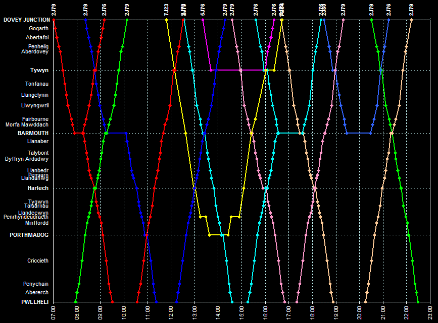
* I say map but it would make more sense as a diagram where all lines are angled at 90 degree intervals and there are no non-rail features present, sort of like what rail traffic controllers use.
There must be some program out there that lets you choose a time of day then loads a map* of an area showing all tracks, stations and estimated locations of trains at that time. Crayonistas and planners could then use it to work out a path for any new service, which could be done by clicking on the station of origin, before clicking on the next stop in which doing so will show the exact position of other trains at the time the service would be estimated to arrive. This process could then be repeated until the user decides to end the service by clicking on another button.
If there isn’t already something like this available to the public, I would be very surprised as most things seem to be online now. I’m even sure I once played an online flash game where you had to path trains and stop them at signals to avoid them from crashing.
* I say map but it would make more sense as a diagram where all lines are angled at 90 degree intervals and there are no non-rail features present, sort of like what rail traffic controllers use.