My cousin works in Tram Control, im lead to believe the route down the cycle path has already been agreed to some extent.
The plan is to turn the entire route into what has been called an "urban road". It might not look like it to some, but this is the route it will take, double tracked. The path will be replaced with tram tracks, but i believe it wont be fenced off. Remember, the tram will have to run slowly anyway along this entire route, due to the proximity of housing.
The bridge will be replaced at Crewe Toll, there are a couple of instances where bridges and underpasses will need to be replaced or widened.
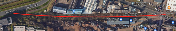
It will then run parallel to West Granton Access, under West Granton Road (with a new bridge installed to facilitate this. After this, it is to run along the path parallel to Waterfront Avenue, through the urban clearing (behind William Waugh), down the top of Granton Square and along the grass. A pinch point will be at the Old Chain Pier, but after that it will join up at ASDA.
It is going to be pricey but its fine, the council have a money printing machine.
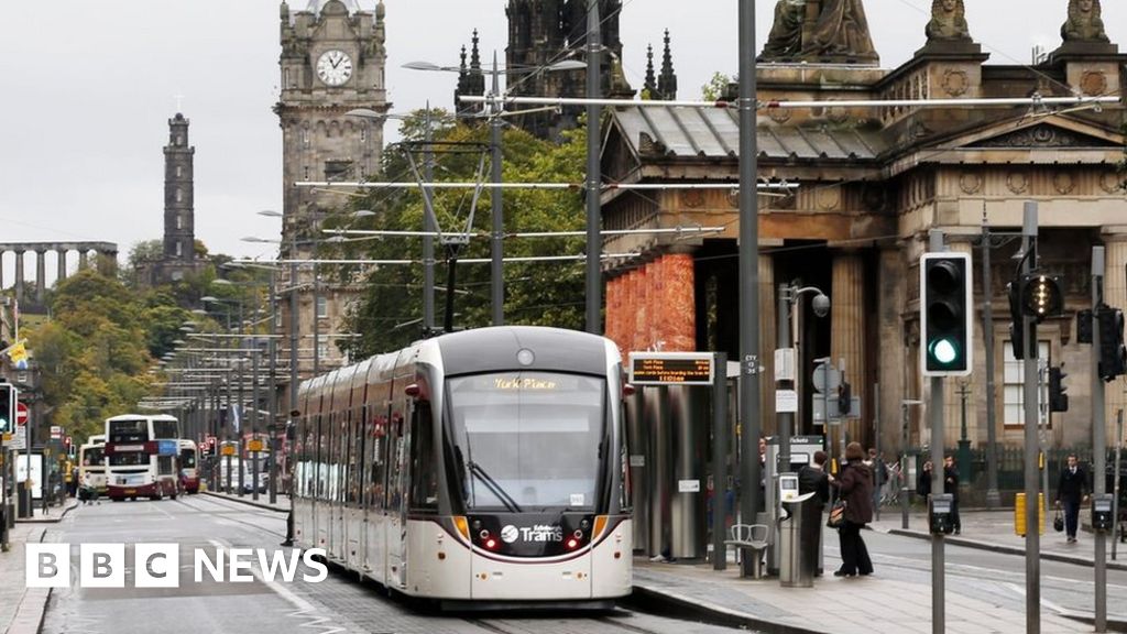


") Just to say that the York Place tram stop is to close and be replaced with Picardy Place as was originally intended.
Just to say that the York Place tram stop is to close and be replaced with Picardy Place as was originally intended.